My goal this trip was to train for my upcoming Missoula, Montana - Columbia River trip and explore this low, boggy section of North Carolina.
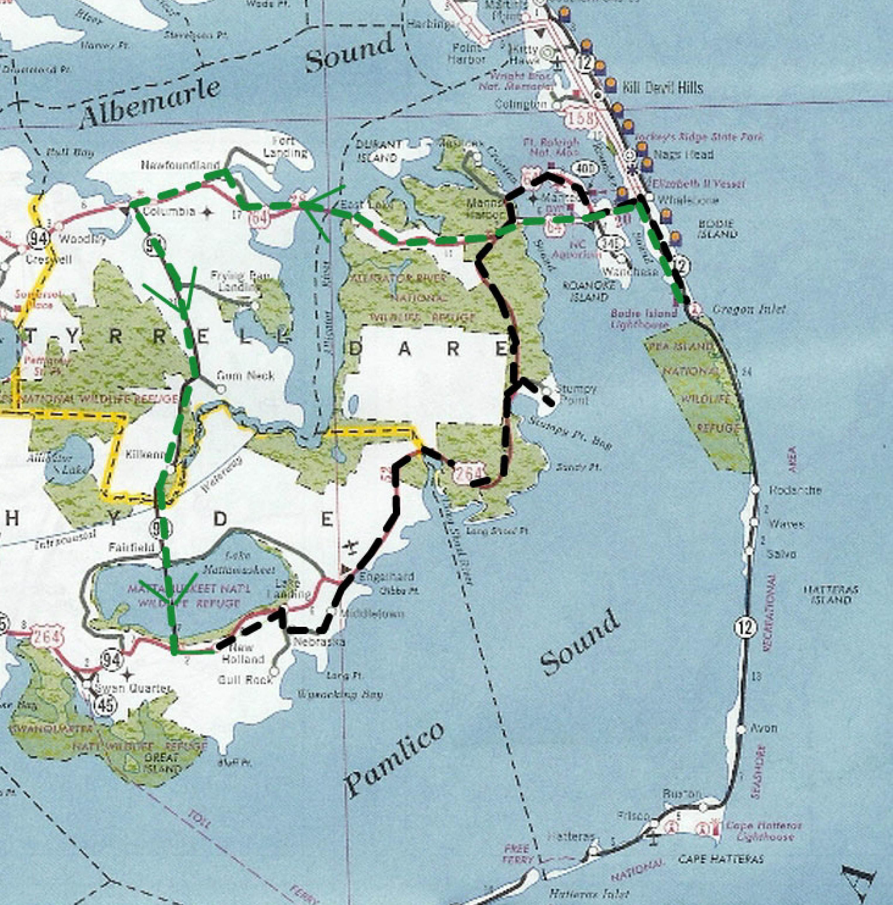
After spending the night in the tent in the campground, I started riding at 4:30am heading west on Route 64, crossing the Pamlico Sound Bridge, and passing through the woods of the Alligator River National Wildlife Reserve and patches of low farmland. I saw a big black bear gallumping across the highway. After the long bridge over the Alligator River I stoped to explore Columbia, which has a nice riverfront park, nature center and nature trail.
Heading south from Columbia was the best part of the trip. The road was just barely above the water level. Lots of pitcher plants along some of the wetter sections. Large sections of the route border the Pocosin Lakes National Wildlife Refuge. Big flat fields border the slightly higher sections.
Today was another hot day, but the regularly passing big clouds kept me from cookin. Dragon flys were everywhere.
One of the most interesting sections of the trip was crossing Lake Mattamuskeet causeway. The lake is only about three feet deep, and
in earlier times, land developers built a series of pumps to lower the water level and sell off the resulting farmland. At some
point, I quess they gave up the pumping and the area reverted to a lake. Just shows how little difference there
is between being open water, bog, wetland, or farmland on this penisula. Life on the edge.
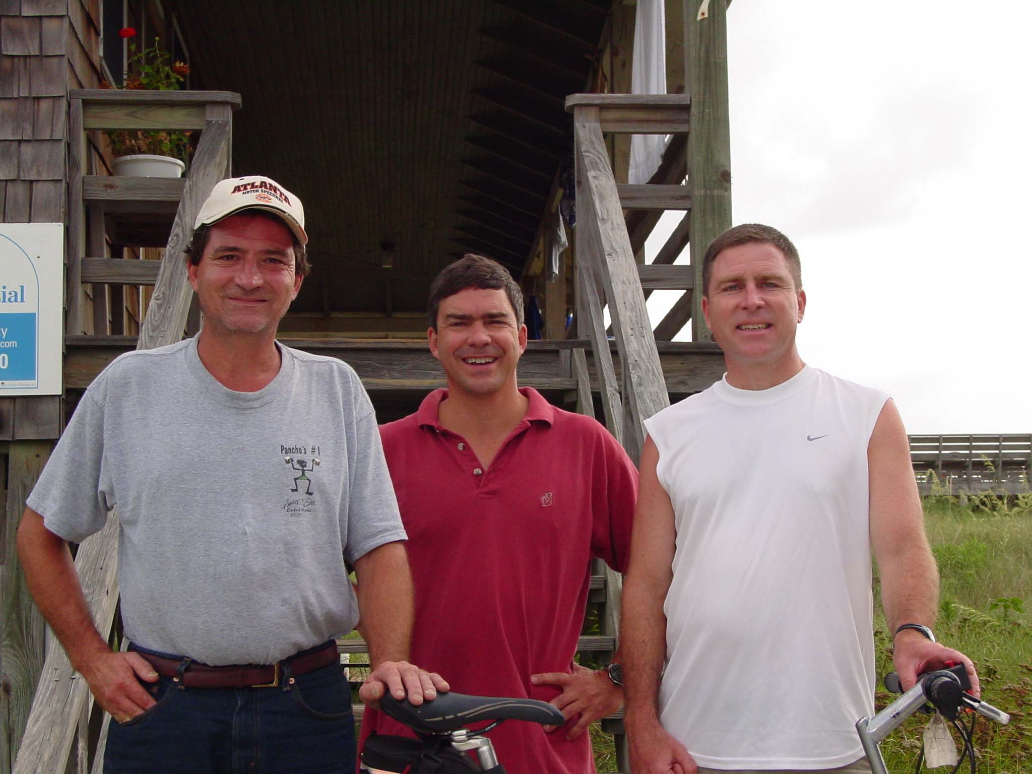
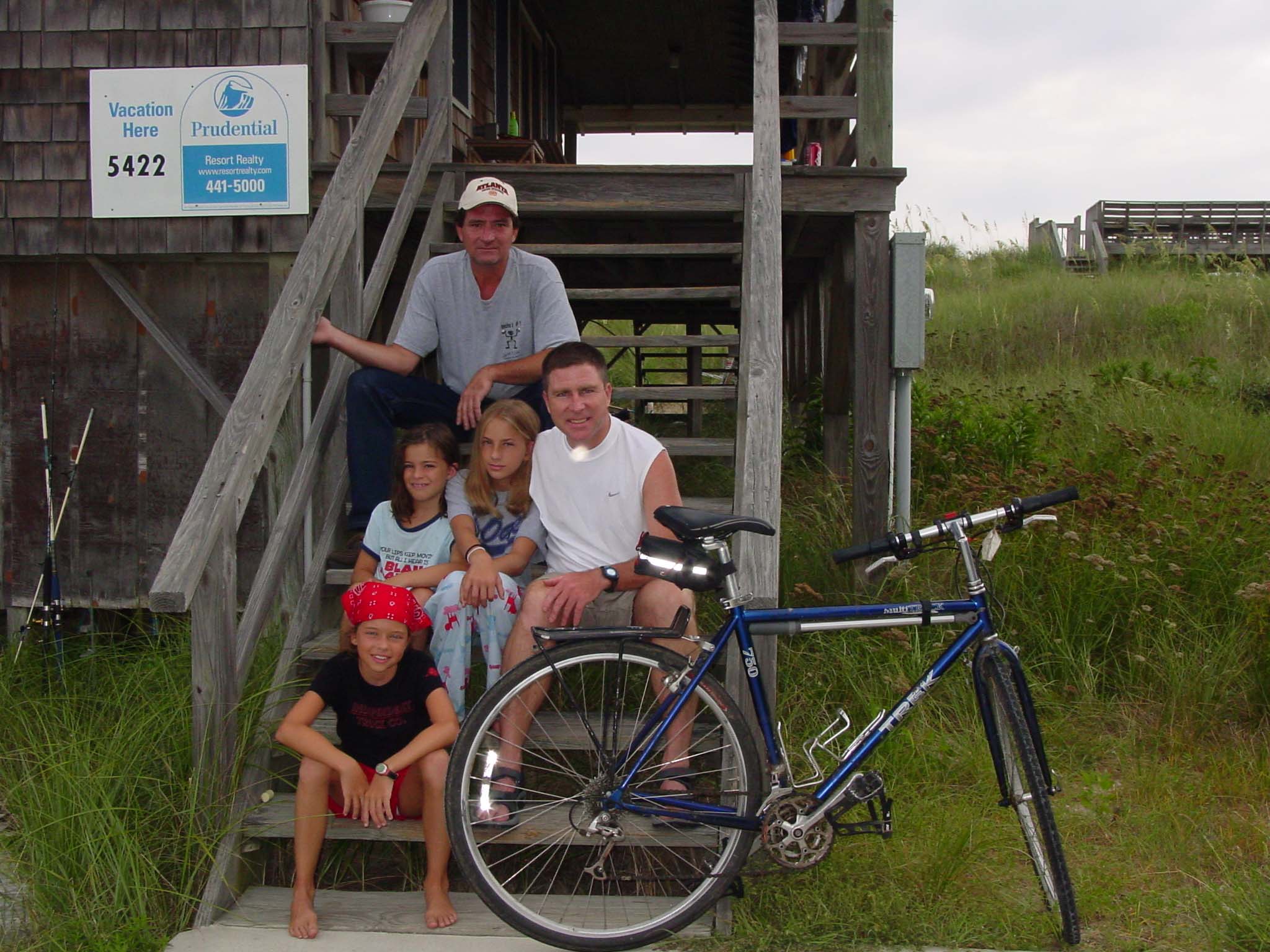
The best part of the trip was finishing the drive back to Nags Head, to a cottage and seeing my three nieces and two of my brothers.
Last Update: May 14 2006