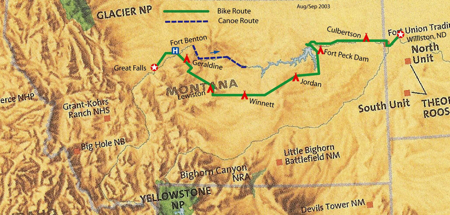
Ralph W. loves the history of the 1804-1806 Lewis and Clark Expedition. He
arranged for a group of Washington, D.C. area friends to canoe through the
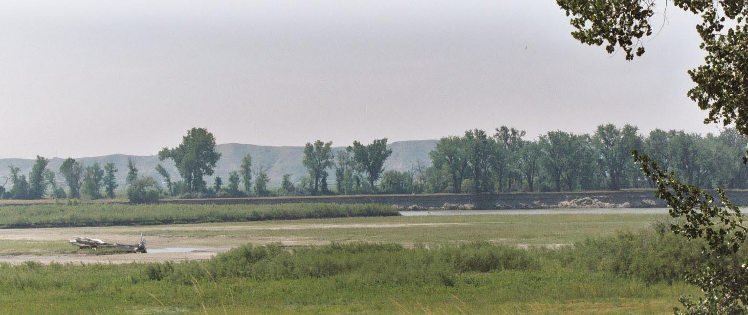
Missouri Wild and Scenic River in central Montana. This
is one of the few sections of the Missouri River that looks much like it
did when Lewis and Clark passed through. I haven’t taken a cross country
bike trip in some time and I love the Great Plains. Joining a group of old
and new friends to canoe the Missouri will be a great reward for riding
through the Big Sky country of eastern Montana.
I flew on frequent flyer miles from Washington National, through Minneapolis/St. Paul, to Bismark, North Dakota, and finally to Williston, North Dakota. (Note: this trip took almost as many frequent flyer miles as it takes to get to Australia!) After arriving in Williston, I reassemble my bike in the airport terminal building, ride to City Park, set up my tent, find a city pool for a swim, and prepare for the start of my trip.
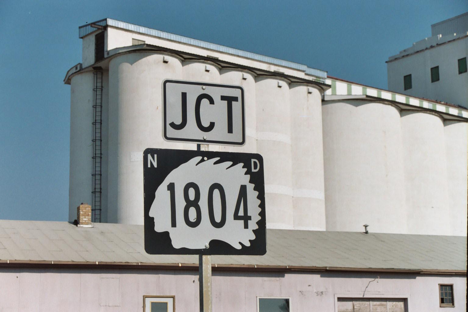
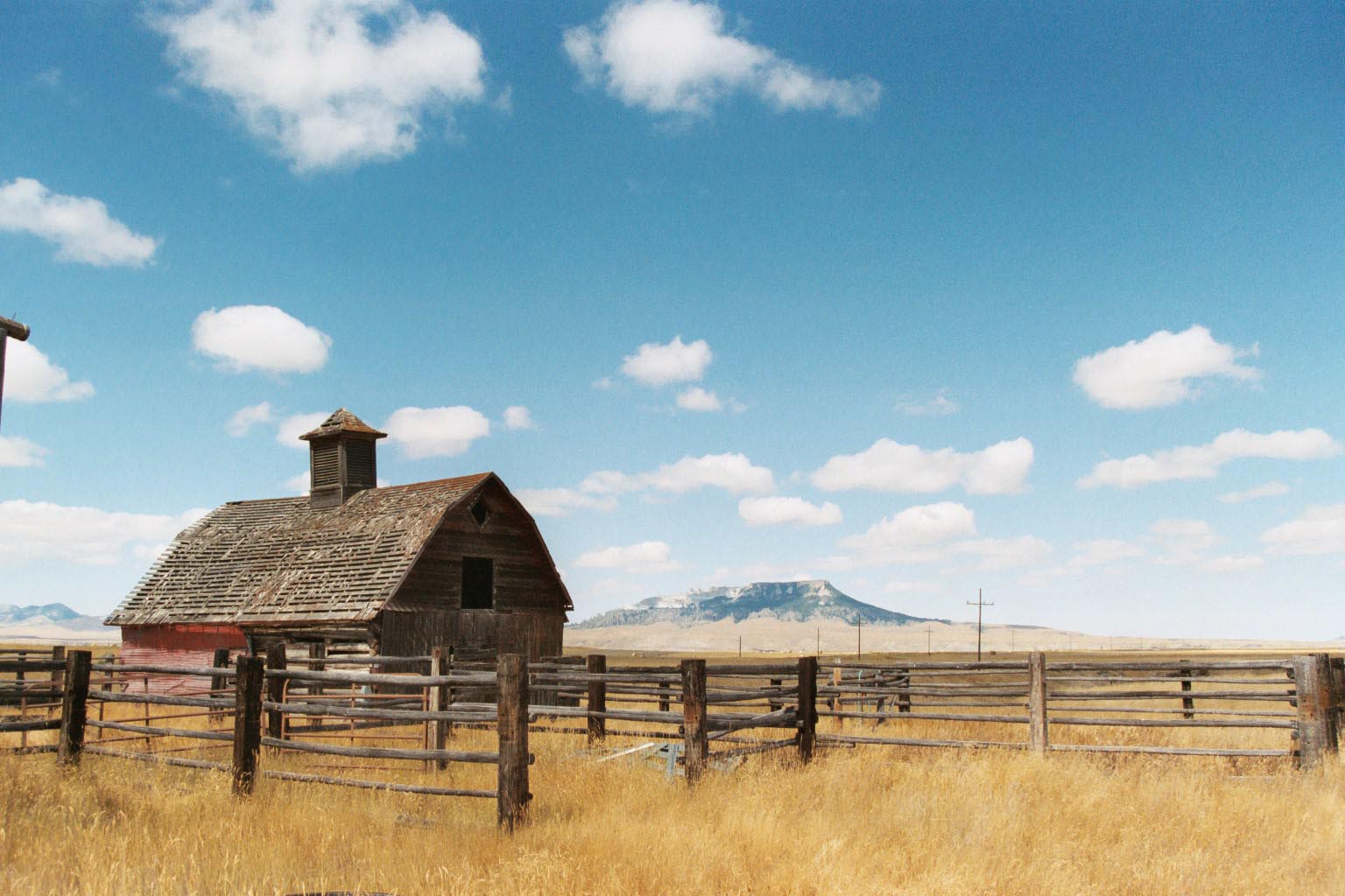
I head out at eight this morning, glad to be back outdoors again. I see grain elevators and the sign for state highway 1804 (the first year of Lewis and Clarks trip) with the profile of an indian head as a background. It even smells like the Great Plains.
I ride out to Fort Union National Park, situated at the confluence of the Yellowstone
and Missouri Rivers. Here, too, is located a new visitor center for the
Lewis and Clark Bicentennial, on its opening weekend. I enjoy both places.
Fort Union makes you wonder how it felt back in the fur trapping days of the 1800’s to be so far away from civilization (St. Louis). Though it is a substantial and civilized fort, it feels smaller than a mesquito bite on the landscape and under the big sky of eastern Montana.
The route today is green, particularly along the river banks and in the lowland
floodplains. I hit a pretty strong headwind on my way to Culbertson, my first overnight. I set
up my tent in a city park, shower, and have a beer and pizza for dinner. It was pretty hot today.
Drivers are courteous out here. The road doesn’t have much of a shoulder, but vehicles pause and
pass politely. They must be used to slow moving farm machinery. 59 miles today. 59 miles total.
I start early this morning; it was cool (60 degrees) and clear. Today gegins along local Route 1, through
the Fort Peck Indian Reservation. It’s flat and green floodplain. I find a few miles of old telephone
poles, now abandoned, leaning over, with old glass insulators on them. This old power line parallels
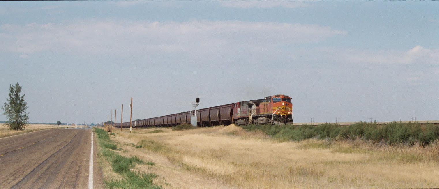
the Burlington Northern Line, and has been replaced, somewhere, with a new, less interesting, transmission
line. I harvest a couple of glass insulators for Ralph W., the canoe trip organizer, my niece, as a
unique birthday present, and for myself as a souvenir of the trip. I stop early today – 2:30pm - in Wolf
Point and camp in a city park. This afternoon is warm and sunny again. 58 miles today. 117 miles total.
Most of the ride today is on small river roads that parallel the main road, Route 2. Again, I’m traveling much of the day through green floodplain. I stop to watch an alfalfa harvester at work, and Roy, the combine operator, invites me to ride with him for a row or two. I learn a lot about alfalfa and living in eastern Montana from Roy. The air is sweet with alfalfa and is filled with butterflys.
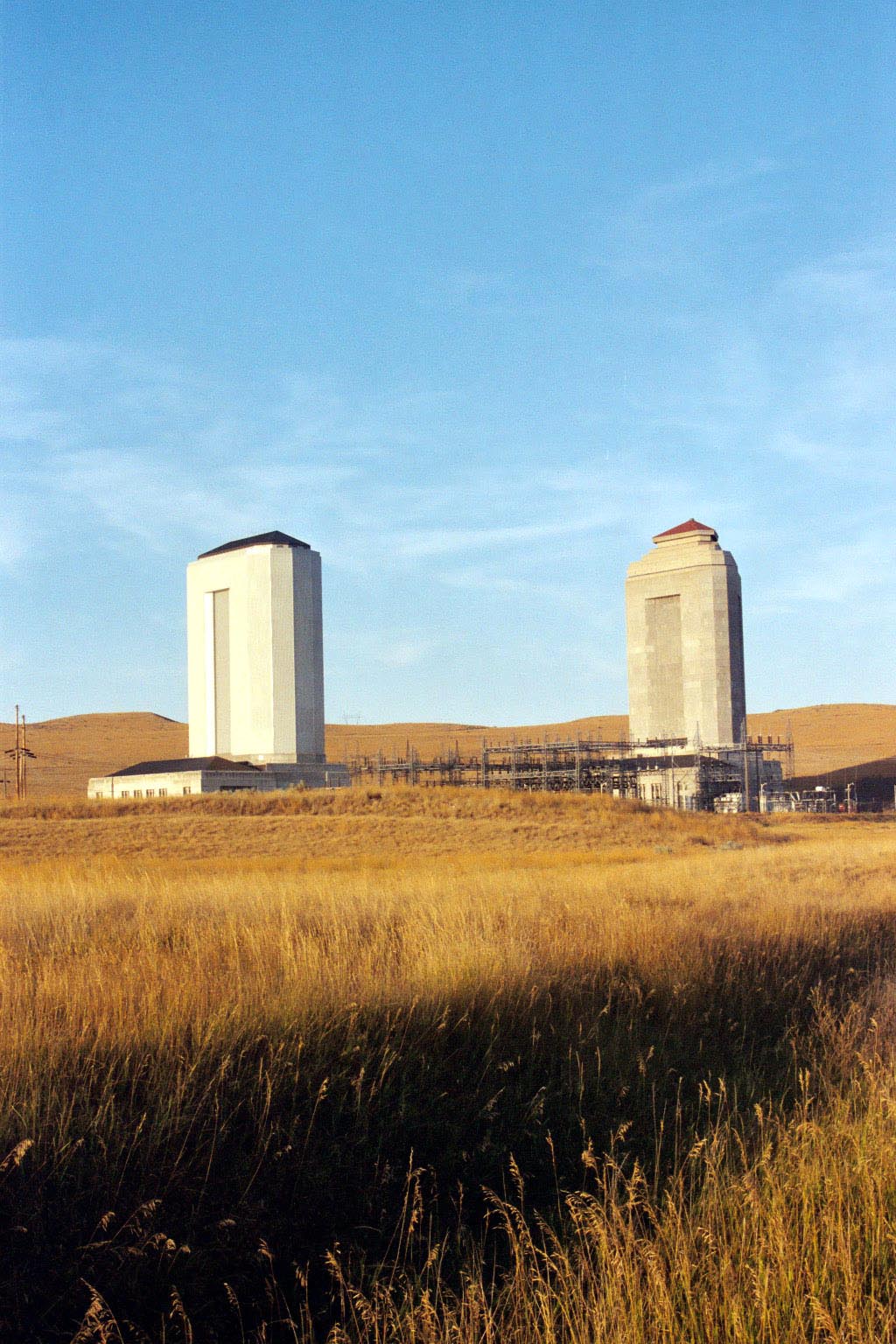
As I bike my way up the Missouri River, I notice that a large portion of the horizon ahead seems unusually flat, particularly compared with the rest of this big, gently rolling countryside. It looks more and more out of place – almost unnatural. It turns out it is unnatural – it’s Fort Peck Dam. A long absolutely straight edge -- maybe 2.5 miles wide – flattening the horizon.
There is not much in the town of Fort Peck – which was the home for the workers who built Fort Peck Dam during the Great Depression. There are a few historic buildings left and a post office, but no convenience store. I mail back a book and the electric insulators at the post office. I also leave my bike helmet on a bench in the shade next to the post office, where I rest and drink some water. (Actually that is OK, because I know I should wear a helmet, but it’s nice not to.)
I have to ride off my route a bit to find a bar/bait and tackle store to stock up on water, doughnuts, and cookies. I know I have a 90 mile stretch tomorrow with no towns, no stores, and no water.
After getting supplies, I ride back to my route and ride over the Fort Peck Dam. This is a big thing. You can probably see it from space. Still, while it’s unnaturally flat, it’s not tall. And riding west from North Dakota, the tallest things I’ve seen are old cottonwood trees, some old barns, and this dam.
And then I notice two 20 story office towers in the distance. WHAT??? Now, its pretty spread out in this part of Montana and not heavily settled. And the sky really is the biggest thing you see. But two 20 story office buildings in the middle of nowhere gets you thinking: “What the heck are those things and what are they doing out here??”
I don’t get into conspiracy theories, but think about it. FDR could have used the Great Depression to help people get back to work and to get in touch with aliens from outer space. Lots of people building projects way out in the middle of nowhere. (Think Hoover Dam also.) News of alien sightings would be much less likely to spread far and would hardly get any national press coverage. All these projects generate lots of electricity. Transmitters need lots of electricity. And then you see these big towers (I call them the Zulean space transmitters) out next to the big dam. Coincidence? I think not. Maybe President Roosevelt talked to alien economists to get the economy going again???
These towers actually house huge surge tanks. They cushion the water pressure racing through the huge pipes if the penstocks ever suddenly close on the turbines spinning the generators.
59 miles today, 176 miles total.
I start very very early this morning – I don’t even remember how early – because I was thinking of the 90 mile distance to the next town and no stores or services the entire distance. I figure the more mileage I get in before the sun comes up and the temperature rises the better. I am heavily laden down with extra containers of water, grapefruit punch, and mini-donuts. (That little store outside of Fort Peck wasn’t exactly a health food store, and I concentrated on liquids and compact calories while shopping.) I did well, clocking 30 miles by 7am, and hitting Flowing Wells, the 54 mile mark, by 11am. Flowing Wells is at the junction of Route 24 and Route 200. There is a small rest stop but no potable water. In the little gravel parking area at Flowing Wells, a fellow in an old restored car asks if I need some of his water. No thanks I say, but it was a nice offer. (So much for lugging all that extra water for 40 miles!). I nap a bit here on a picnic table in the shade.
Upon waking, I still have 30 miles to go before Jordan, the first, only, and next town and my
goal for the day. Route 200 is a real charmer. This is iconic east Montana country. The route
to Jordan generally follows Big Dry Creek. Route 200 gets narrow in places but there is very little
traffic; it has some minor ups and downs, but generally it’s flat. I have a tailwind most of the
afternoon, so I maintain a good pace to Jordan.
Tailwind or not, I’m tired when I arrive in Jordan, and after checking around, I find a small grove of cottonwoods in a city park next to the small hospital there. It’s about four in the afternoon. I pitch my tent and, in part because of my early early morning departure, lie down, listening to the rustle of the wind in the cottonwood trees, and fall asleep quickly.
Ralph W. is a good friend of mine and the organizer of the Missouri River Canoe that’s coming up after my bike trip. Ralph has decided to drive out to Great Falls, where we are all meeting to start the canoe trip. Before I left, Ralph and I talked about meeting up somewhere, and though I left Ralph a rough itinerary, our plan to contact and track each other by cell phone at 5PM each day fizzled when it turned out I had no reception on my cell phone in Montana.
Peoplewise, eastern Montana is a pretty sparsely settled area, and getting sparser. I think the big local news story on my trip was that the high schools were switching from six man football teams to five man teams because enrollment in schools were declining. It’s small enough that folks in the diner will tell you where the best pies are in the next town down the road, or tell you about the wheat markets and trying to make a living as a farmer, or how many people come through each town on bikes now that they have the Lewis and Clark Bike Trail all mapped out. (I initially imagined fifty a day, but it’s probably 10 or less a day during the peak season, if that many).
So I’m deep asleep under the cottonwoods in Jordan after a good day’s ride. I vaguely hear a car pull up, and someone talking to me in a rather deep stern voice. Half asleep, half stumbling, I’m unhappily thinking the local sheriff is evicting me from my shady grove. But much to my surprise, after giving up all thoughts of meeting up, it's Ralph’s voice I been hearing. We’re meeting on the plains much like Lewis and Clark did when they split up, followed different rivers, and managed to rondez-vous at some unknown place somewhere ahead. What a reunion! A cause for celebration!
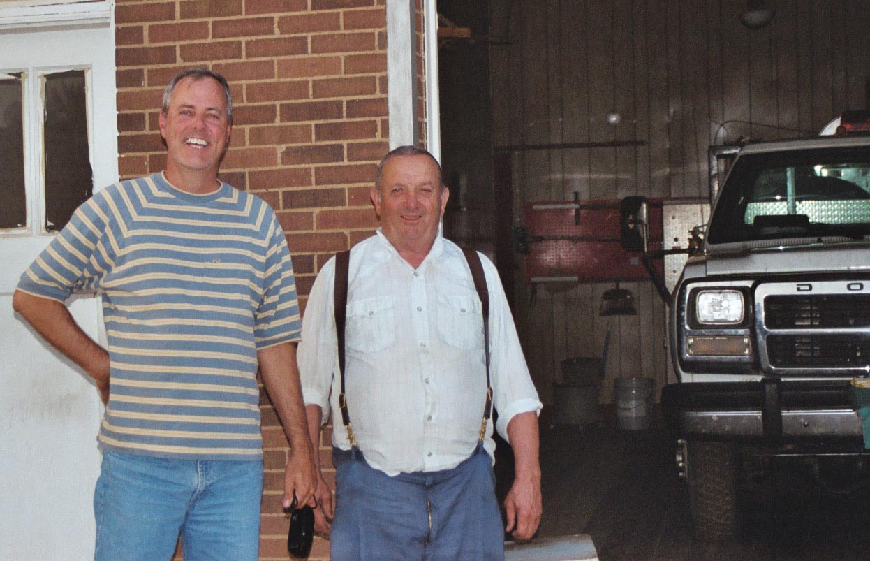 Ralph chooses not to partake of the cottonwood grove. Instead, Ralph checks into the local
B and B. (Actually I wish I had seen the inside of the place. Ralph described some
interesting décor, but
the thing that sticks in my mind is his description of windows and walls decorated with glue
and glitter. Not to imply that the place place wasn't first class, just perhaps, too much interior
decorating time during those long cold Montana winters!). And we had a grand feast at the Hilltop Café
and a tour of the town. We meet one of the local firemen, who is from France
of all places; he came over after World War II.
Ralph chooses not to partake of the cottonwood grove. Instead, Ralph checks into the local
B and B. (Actually I wish I had seen the inside of the place. Ralph described some
interesting décor, but
the thing that sticks in my mind is his description of windows and walls decorated with glue
and glitter. Not to imply that the place place wasn't first class, just perhaps, too much interior
decorating time during those long cold Montana winters!). And we had a grand feast at the Hilltop Café
and a tour of the town. We meet one of the local firemen, who is from France
of all places; he came over after World War II.
The afternoons are long in the summer in Montana. They seem to go on forever until the sun sets. That often means you want to stay out of the sun late in the afternoon, particularly if you’ve been out in the sun all day.
Sunsets seem to last a very long time, too. Maybe it's because you can see so far and because the dry early evening wind is so pleasant. I’ve heard some people talk about this part of the day, when the sun is low enough in the sky that it no longer burns, as when there is “sweet light”.
So it is with a big smile that I remember that Ralph found me, and that we got to spend the evening together seeing all there is to see in Jordan, Montana. Even better, I know I will see him again in a few days, in Great Falls, where we start our Missouri River canoe trip.
93 miles today. 269 miles total.
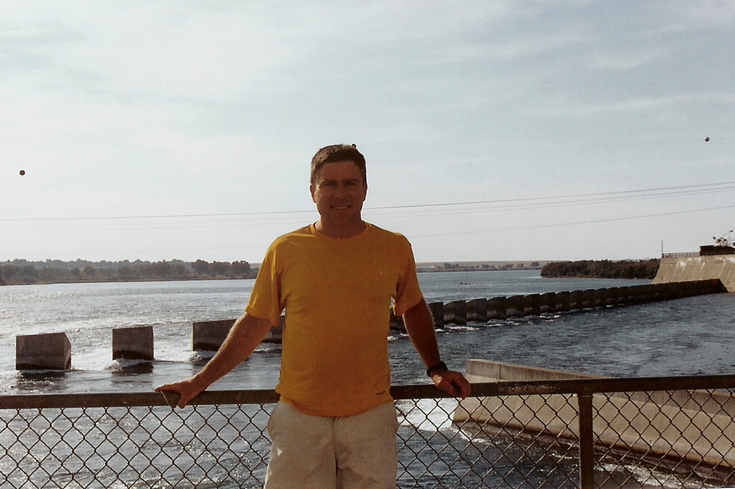
 I know I have a lot of riding to do, today (of course!) so Ralph and I have agreed
that I’ll start at my regular time (early), and we will just meet each other somewhere
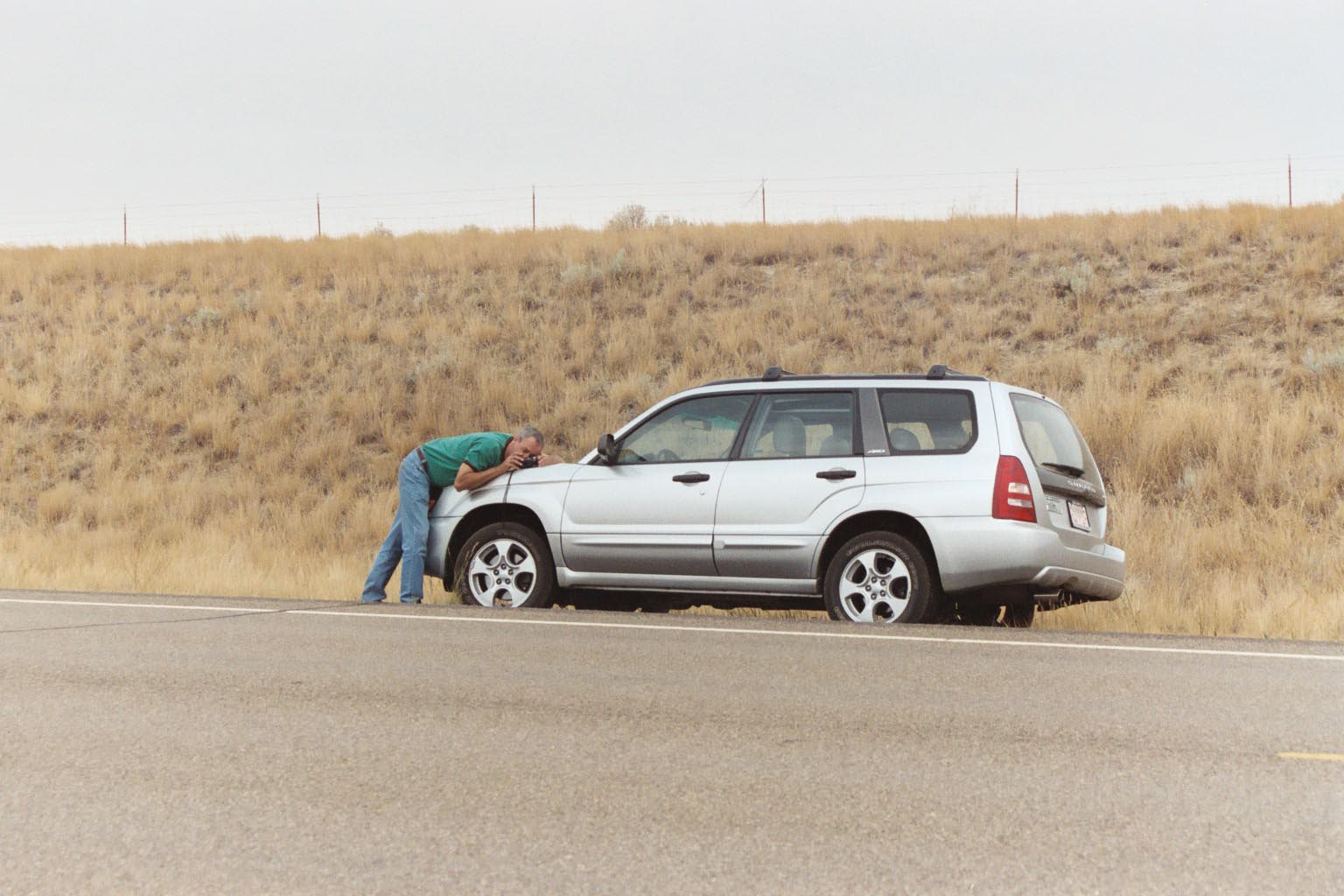
west of Jordan. Ralph and I do meet west of Jordan, take a few photos, and part ways -- until
we meet again in Great Falls.
I know I have a lot of riding to do, today (of course!) so Ralph and I have agreed
that I’ll start at my regular time (early), and we will just meet each other somewhere
west of Jordan. Ralph and I do meet west of Jordan, take a few photos, and part ways -- until
we meet again in Great Falls.
I am riding through dry country now, and after Mosby, I hit some pretty strong
headwinds. There isn’t much shade either. So today is a little work. I have a great
lunch in Sandy Spring.
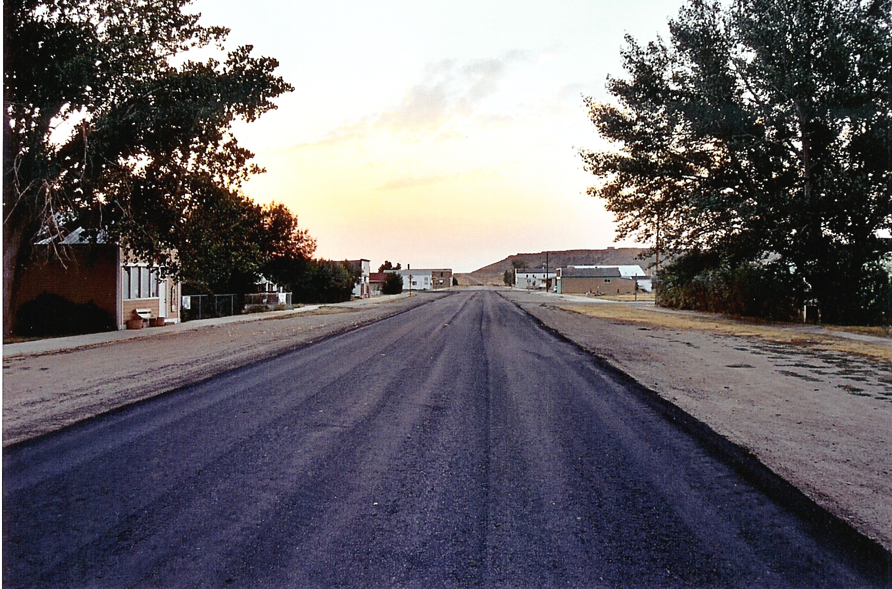
I roll into Winnett. It’s flat. I roll out my tent and bag in the city park/pool on Main Street. Though not entirely true, Winnett is really one, and has only one, “main” street. It seems to shoot directly east and west and it’s wide given the scale of the houses and small businesses there. (So wide in fact that when they repaved it recently they only paved the lanes abutting what would be the center line.) And it’s long. The western end just runs out into a wheat field. The street reminds you of a telescope, because as the sun starts setting and the sky turns orangy purple black, that main street seems to be aimed, rifle straight, towards the sunset. You have an unobstructed view of the end of the day.
78 miles today. 347 miles total.
 It starts to green up on the way from Winnett to Lewiston, and again I hit a pretty
tough headwind. That and the fact that I’ve been riding for a few days and
my legs are tired, makes for a slow, slow day. I stop for lunch at Grass Range, and
then continue on. I struggle up a consistent grade, but enjoy coasting downhill into
Lewiston. Lewiston was a big important town at some point. I remember lots of big sturdy
historic buildings. Maybe it was a mining town or rail head or both. I find a campsite
at the county fairgrounds, and get to enjoy some of the Meti Indian Pow Wow
that is going on there.
It starts to green up on the way from Winnett to Lewiston, and again I hit a pretty
tough headwind. That and the fact that I’ve been riding for a few days and
my legs are tired, makes for a slow, slow day. I stop for lunch at Grass Range, and
then continue on. I struggle up a consistent grade, but enjoy coasting downhill into
Lewiston. Lewiston was a big important town at some point. I remember lots of big sturdy
historic buildings. Maybe it was a mining town or rail head or both. I find a campsite
at the county fairgrounds, and get to enjoy some of the Meti Indian Pow Wow
that is going on there.
Only 54.5 miles today. 401.5 miles total.
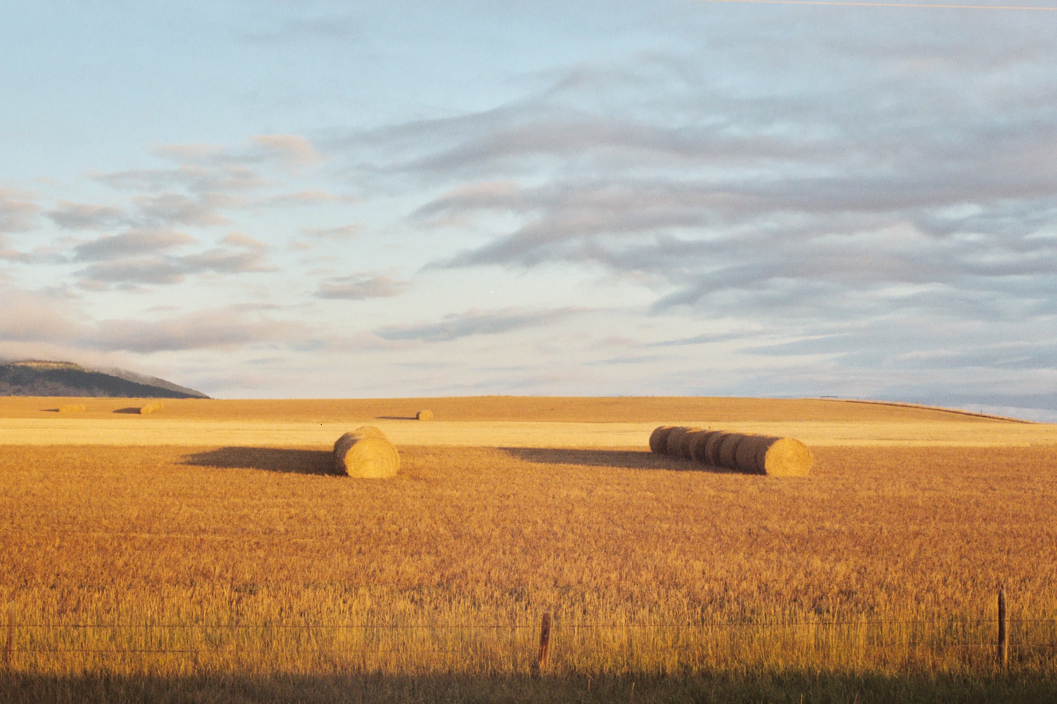
I am now deep in spring and winter wheat country. I hear that farmers aren’t getting
much for it this year.
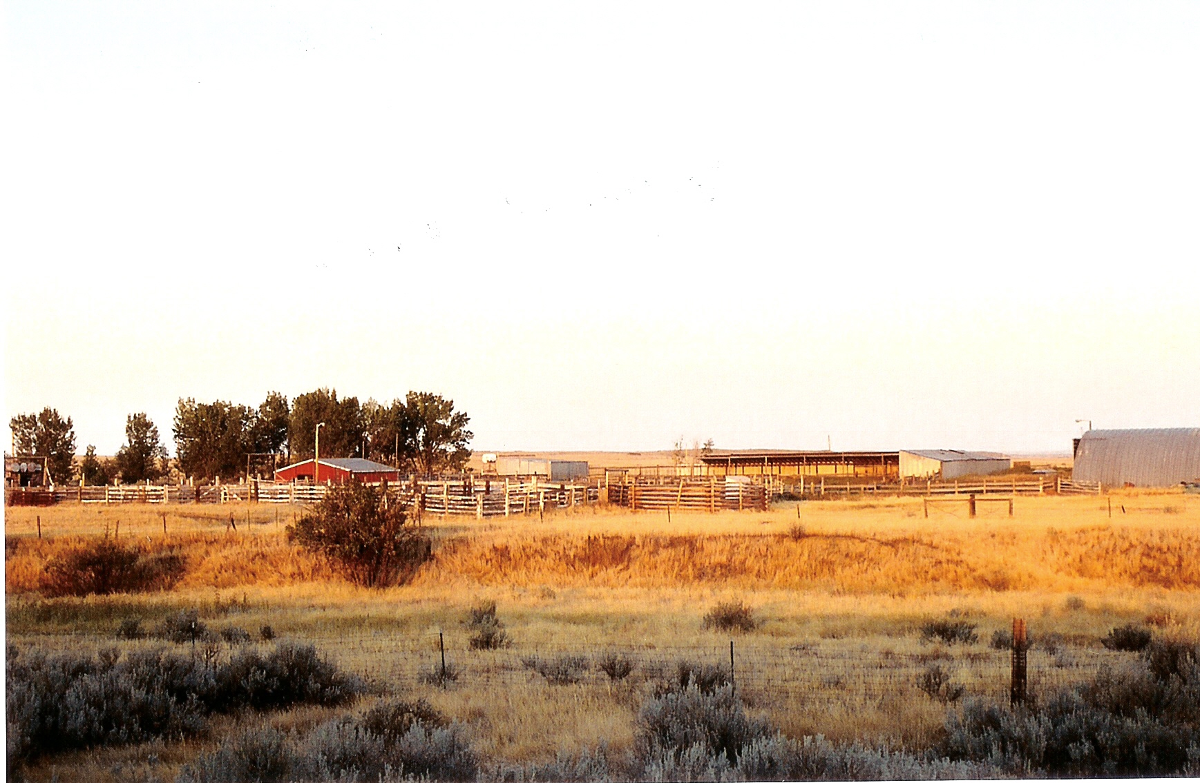
I have a great lunch at the diner in Denton. I spend a lot of time where Route 81
and Route 80 intersect, just west of Coffee Creek, taking pictures of an old abandoned
farm and lots of old farm equipment.
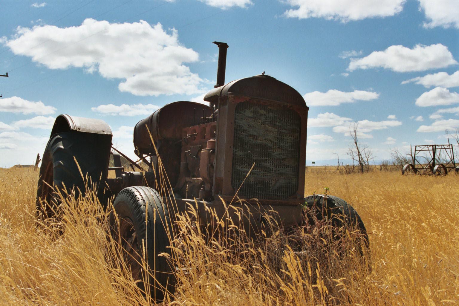
Several generations of old tractors
and seeders, harrows and plows cover the near farm yard.
I guess it’s so
dry out here, so equipment stays well preserved.
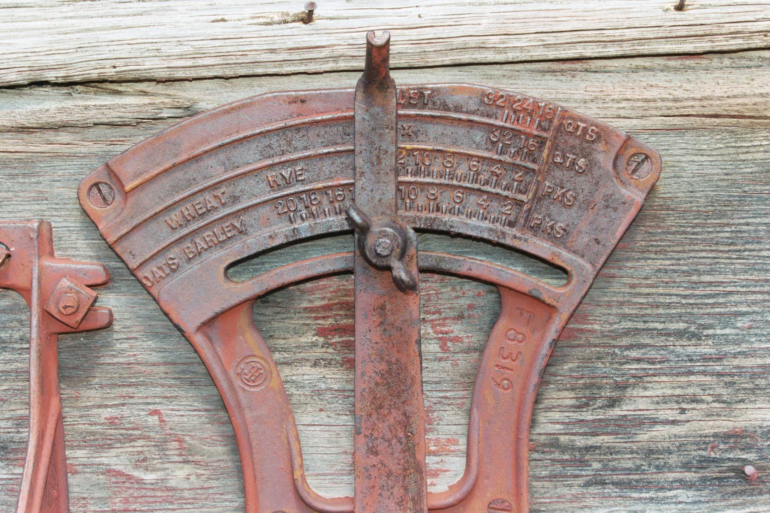 This place really should be a museum. I’m wishing I was a better photographer.
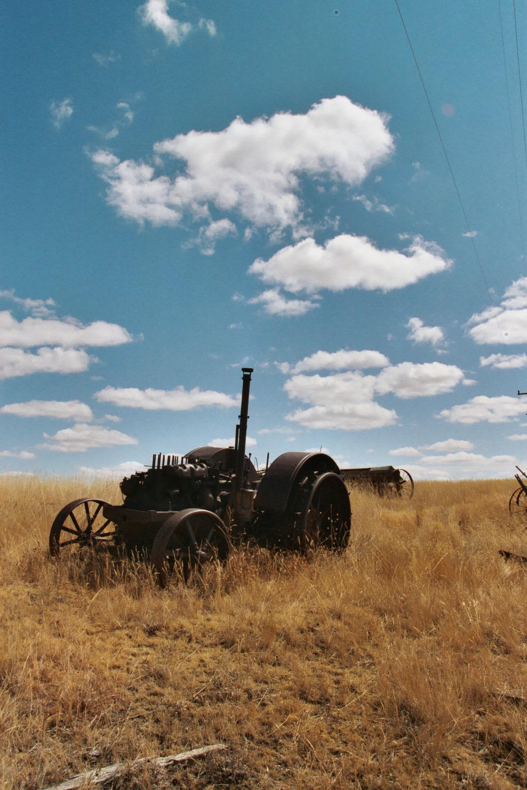 One more I like.
I’m happy to see Geraldine, and pitch my tent in the city park, wash down in the sink, have a good dinner at the bar, and settle in for the night.
73 miles today, 420 miles total.
Today I need to get to Great Falls. As usual, I haven’t given myself enough time for this trip, but know that I will soon be meeting old friends in Great Falls for our canoe adventure.
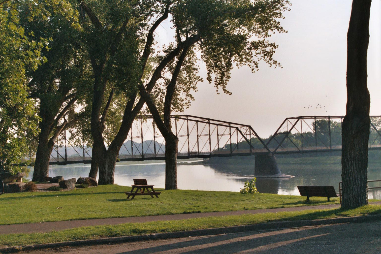
I am up early and on the road by 4:30am. I’m not smart enough to have brought bike lights, so I am crossing the rolling wheat plains by star light. It’s just light enough for me to stay on the road, except every once in a while. Riding at this hour is a joy in itself, because you pick up subtler sounds, shapes and smells when the senses you usually use are “underwhelmed". It’s also cool, so my fingers are getting cold. As the sky lightens, the county I’m crossing proves to be scenic. The road is almost, but not quite, flat – so riding is easy. I make the 26 miles to Fort Benton quickly and settle in for a good breakfast there. Entering town, I pass the sign that says “Missouri Wild and Scenic River” and am excited about things to come. Fort Benton is a green, pretty little town nestled under a bluff along the Missouri. This was a far as the river boats could get, so this town has lots of gold rush, frontier history.
I’ve been having bad sinus problems most of the trip, and know tomorrow I will depart for a week on the Missouri River without access to civilization. So I attempt to track down a doctor and a prescription. No luck. It’s Labor Day weekend and the doctor isn’t open his usual Saturday morning hours. I finally go to the little hospital there, and ring the door bell at the emergency entrance. A physician’s assistant comes to the door, signals me to come in, unlocks the emergency room, turns on the lights, checks me out, and gives me a weeks worth of anti-allergy pills and a prescription for some antibiotics.
I’m worrying the entire time about them having to open the emergency room for me, my crappy Blue Cross Blue Shield pre-approval requirement, and big city hospital prices. I figure I’m out of pocket a couple hundred at least. Four weeks later I get a bill for $44.00 which of course Blue Cross Blue Shield refuses to pay. Naturally I do pay, but wonder how a hospital can stay open with rates like that. Maybe they make it up in the private rooms at $60.00 a night???
So now that I have spent the cool morning enjoying Fort Benton and insuring my future health, I start out on the 44 mile ride to Great Falls. It’s very hot and sunny now, and there is a lot, repeat, a lot of traffic on two lane Route 87 into Great Falls. There is no shade. I just focus on the next grain elevator down the way and say, just get there, and we will see what is next. While the road is boringly straight, it is not flat. It is set back a good distance from the Missouri. The short relief of coasting down hill and crossing each creek means a long uphill climb over the ridge into the next watershed. I cross many creeks, each flowing into the Missouri. I am very happy to get to Great Falls and find my friends at the hotel there. We have big steak dinners “double campfire” at Eddie’s Supper Club and close out the night with a drink at the Sip and Dip – a tiki bar with a glass windowed swimming pool where a mermaid usually swims. She’s out fighting forest fires this night. Piano Pat takes up the slack, with her music.
70 miles today, 490 miles total.
Here’s just a few pictures of our trip down the Missouri. We put in at Fort Benton and paddle all
the way down to XXXX.
Let me again put in a plug for Wayne and Gia Fairchild who run Lewis and Clark Trail Adventures. They have a number of rafting, kayaking, canoeing, and hiking trips in Montana and Idaho, all related to the historic journey of Lewis and Clark to the Pacific and back. Wayne and Gia attract and retain a great group of guides, and all together they run a great trip. For more information see
Lewis and Clark Trail Adventures.Click here for some pictures of our canoe trip down the
Missouri Wild and Scenic River.
Last Update: January 15, 2007