At least a portion of the trip from Riggins to Missoula is along the route I will start biking the next day.
First, there is the Salmon River Trip from August 25, 2006 to August 31, 2006.
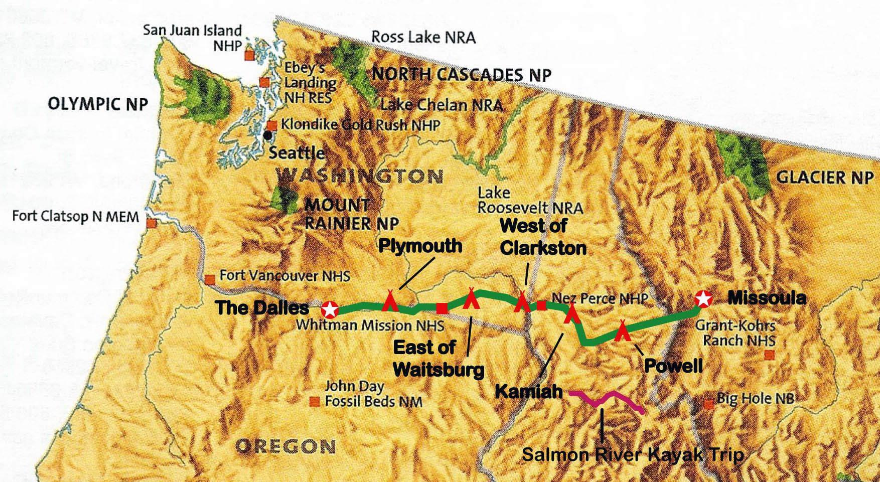
Coming from several different places, we all meet in Missoula on August 25, 2006 at the offices of Lewis and Clark Trail Adventures. After hearty greetings to old friends and warm welcomes to future friends, we gather our last minute supplies (i.e. load up at the liquor store), and head south out of Missoula down Route 93, overnight at a lodge with hot springs on the Montana/Idaho line, and the following day we continue south on Route 93, turn west at North Fork, Idaho, and continue to our drop off point: Spring Creek Boat Ramp.
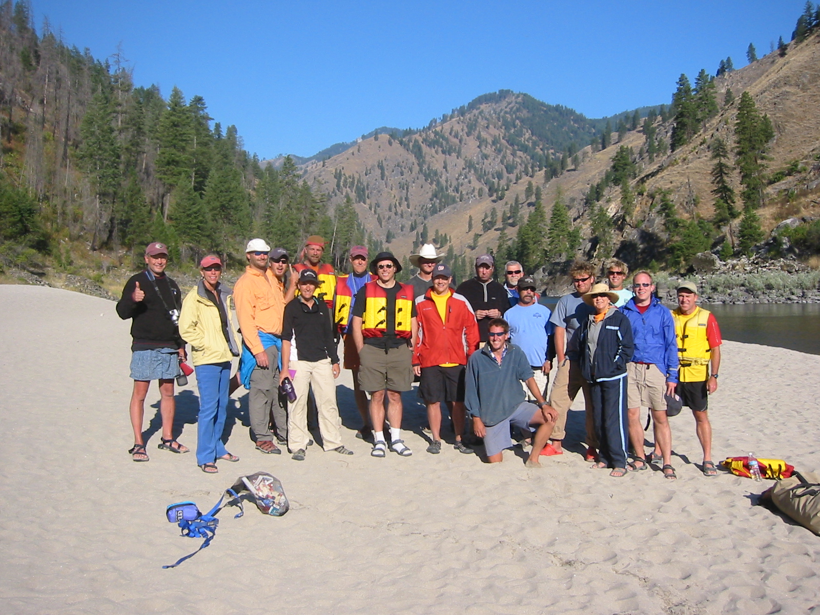
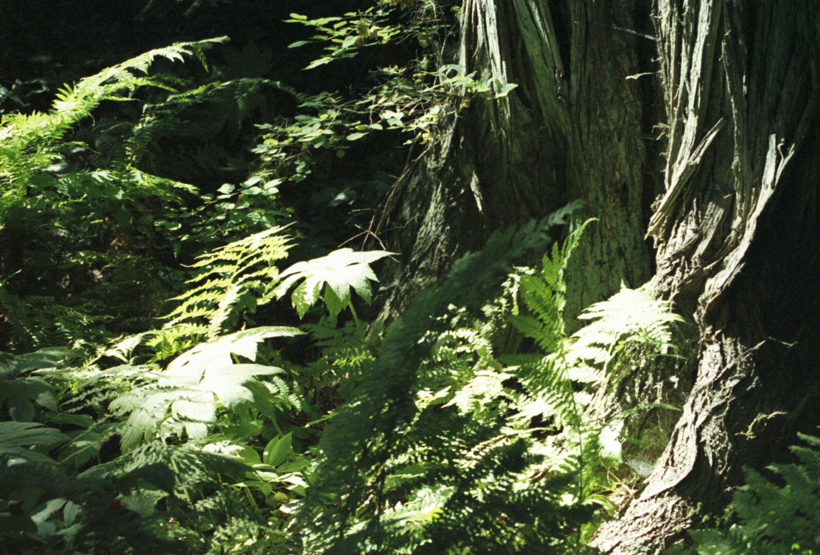
What follows in a six day "off the grid" kayak trip through 90 miles of the Salmon Wild and Scenic
River. This section of the Salmon River is surrounded by two of the largest wilderness areas in the
Continental
U.S. the Selway-Bitteroot Wilderness and the Frank Church-River of No Return Wilderness.
We quickly fall into the pace of the River: easy and lazy paddling, amazing scenery,
a long break for lunch, more easy and lazy padding, and more amazing scenery. Then: pulling up to a beach camp site,
setting up our tents, munching on snacks and drinking beer, playing (swimming, horseshoes, hiking, talking) 'til
dinner,sitting around the campfire until turning in.
Life is good. Particularly since many of us have done similar trips together before, we know most of the outfitter's guides from previous trips, and the travellers and guides that are new to us become friends.
We have great weather and a good time. We pull out of the Salmon 20 miles up river from Riggins, Idaho, pack up the gear, and bus back to Missoula on August 31st. At least a portion of the trip from Riggins to Missoula is along the route I will be biking the next few days. After a farewell dinner, a good night's sleep indoors on a bed, the diaspora of trip members begins.
"Off the Grid": When we left Missoula on August 25th Hurricane Katrina was threatening
the east coast of Florida. On August 31st, the day we leave the River, we hear that New Orleans
has been devastated.
Let me put in a plug for Wayne and Gia Fairchild who run Lewis and Clark Trail Adventures. They have a number of rafting, kayaking, canoeing, and hiking trips in Montana and Idaho, all related to the historic journey of Lewis and Clark to the Pacific and back. Wayne and Gia attract and retain a great group of guides, and all together they run a great trip. For more information see
Lewis and Clark Trail Adventures.Click here for some pictures of our kayak trip down the
Salmon River.
This being Missoula, and home to the Adventure Cycling Association, I stop by their office to say hello. They take a polaroid picture of me and add it to the wall of through-bikers that have stopped in this year. Each picture has an interesting short story attached to it. For good bike route maps and long distance biking information, visit the
Adventure Cycling Association.
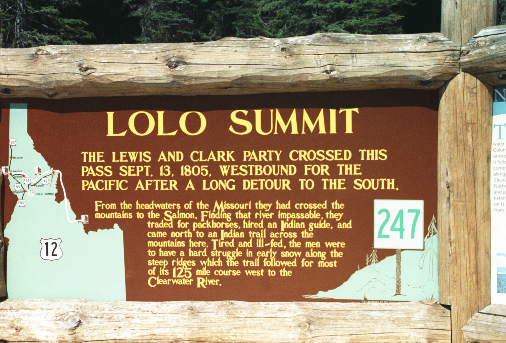
The first part of my ride is pretty easy. Yes, Missoula has some sprawl and reasonably heavy traffic heading south on Route 93 but it is a clear day and the sky is beautiful. Turing left at Lolo onto Route 12 starts a very slow and easy ascent on a two-laner. First, through woods, fields, and scattered houses, then just woods. Mostly green, fresh air, and little traffic.
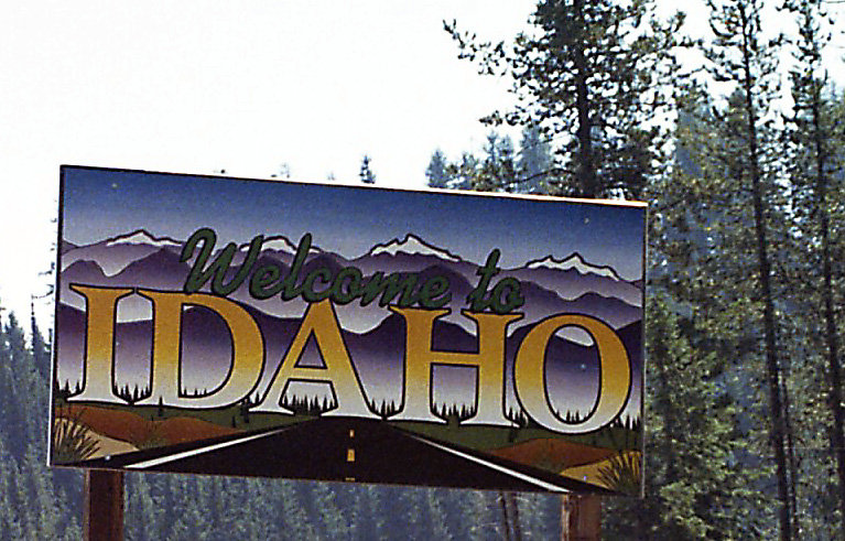
The last couple of miles before the summit/state line are a quite steep, but all in all, it has been an
easy climb.
I spend some time at the visitor center at the summit and wander through a lush mountain wetland/meadow.
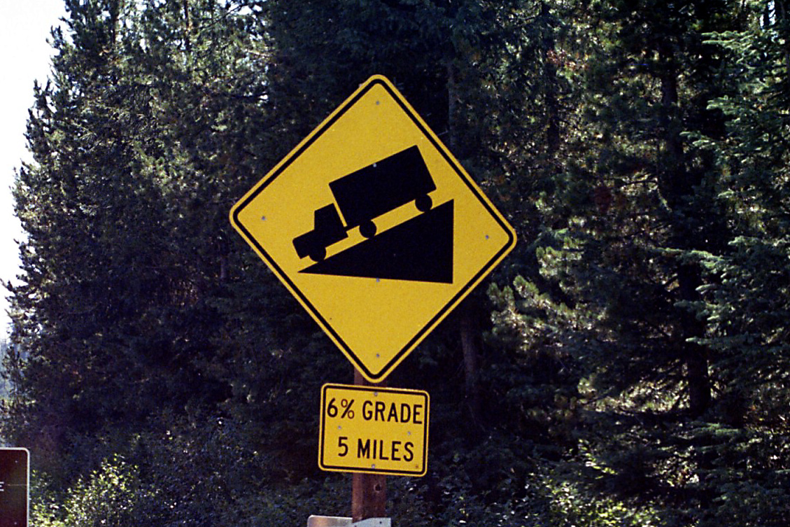
Now the easy part begins, it's downhill all the way to Powell, Idaho and the Lochsa Lodge.
Even though I'm travelling in the direction Lewis and Clark did to get to the Pacific, most bikers would come west to east to have the prevailing westerlies as a tail wind.
I didn't have any particular problems with head winds on this trip, and it is a little tingling thrill
to figure out over the next several days that most of the trip will be flat or downhill from the Contintental
Divide at Lolo Pass, along
the Lochsa, Clearwater, Salmon and Columbia Rivers toward the Pacific. :-)
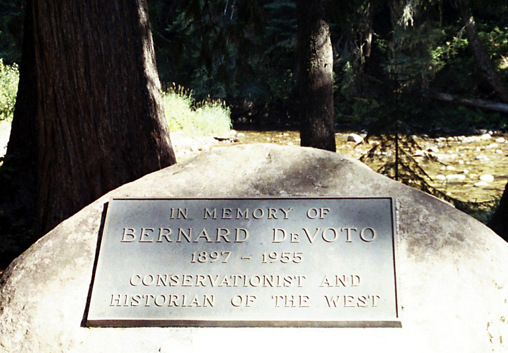
Anyone interested in western history knows and has read Bernard DeVoto. He was at one time a college english instructor, and then an editor and writer. The last fifteen years of his life (1940 to 1955), his published works focused on western american history. He edited an abridged version of the Lewis and Clark journals, wrote a book about North America west of the Appalachian Mountains and the colonial powers that held that area (The Course of Empire), and at least two books on America's expansion west beyond the Mississippi (Across the Wide Missouri and Year of Decision:1846).
I think Wayne took courses at the University of Montana that surely must have includes these books.
Though he spent much of professional life in Massachussetts and New
York, sometime during the late 1940, DeVoto must have
come west to research his books. He also is noted for his conservation efforts later in life.
Bernard Devoto camped here frequently as he work on his books, and his ashes are scattered here.
This beautiful grove was dedicated to Mr. Devoto, and being a western history nut,and having
read most of Mr. DeVoto's books, I pause and pay my respects.
LCTA has an office on the grounds of the Lochsa Lodge that they use in the spring. The Lodge has a bar and restaurant, a scattering of cabins, and a convenience store. It's a quiet but active meeting point of sorts.
Wayne tells me that if I check in at the Lodge office, I spread out by sleeping bag on the LCTA office's porch. I have drinks and dinner on the lodge porch, and wander off to bed.
59 miles today. 59 miles total.
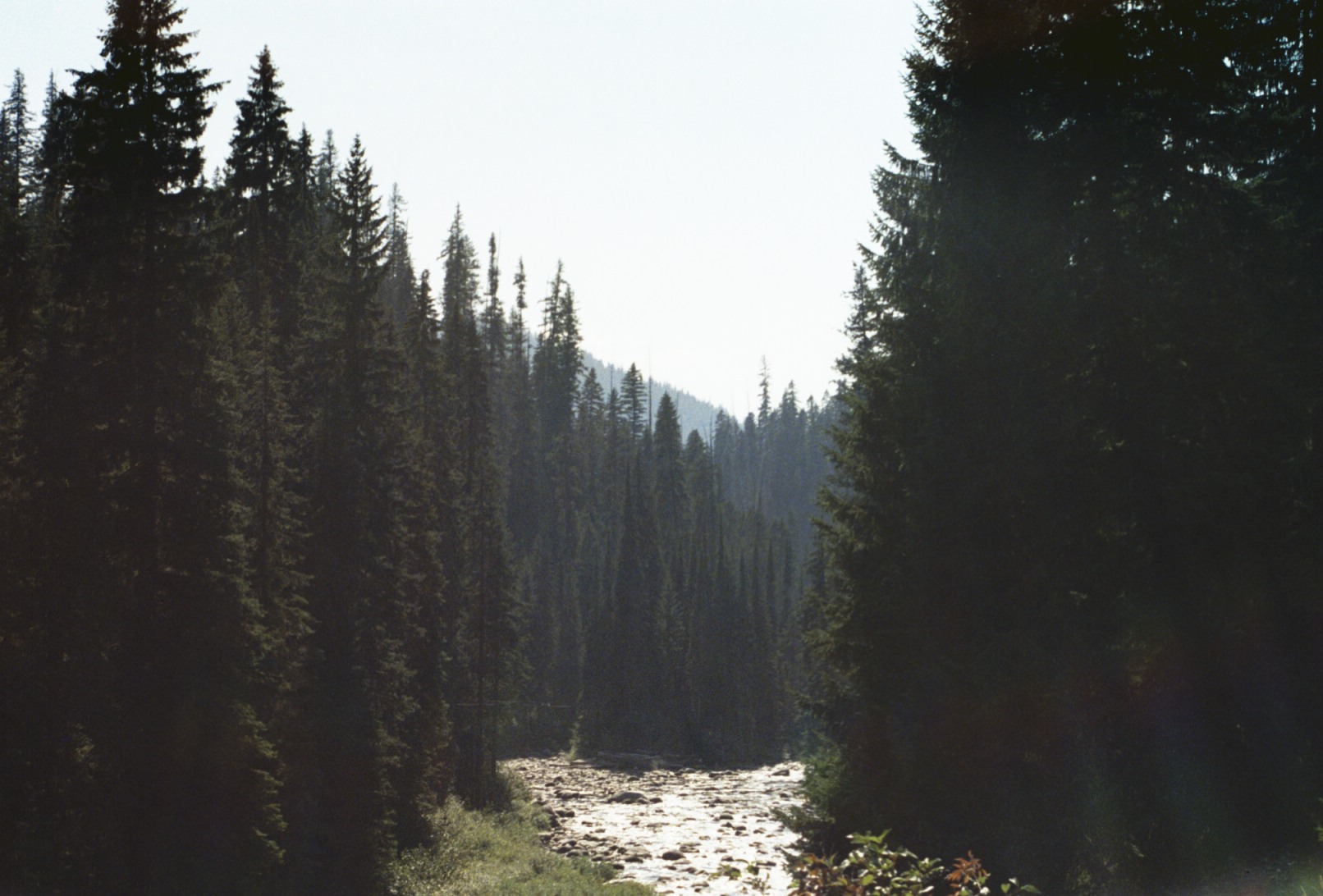
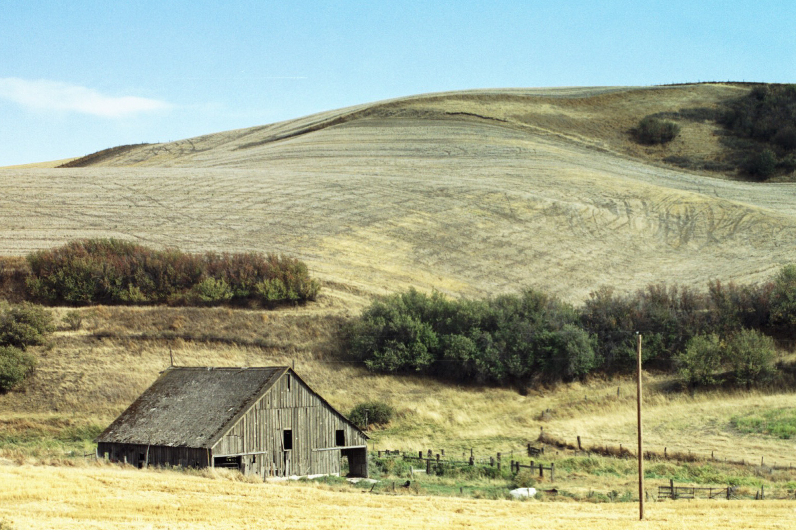
I'm up and riding at 6am. It's an easy flat or downhill grade all the way to Lowell. I make good time, and there isn't much traffic. This picture is typical of the country. Rich thick forest, steep slopes, and clear fast running water.
It's quickly evident from this short stretch why Lewis and Clark and Old Toby wandered up on the top of the ridge lines as they traversed this part of Idaho (a.k.a. The Lolo Trail). The slopes are too steep and too wooded to traverse on horseback. Perhaps they could have trudged through the Lochsa, but the river seems too fast, deep, cold, and rocky to be practical.
This morning while I'm riding, I'm thinking of my friend, Ralph. He was part of the Salmon River Kayak trip, and in another week, will be hiking with Wayne and Gia along the Lolo Trail (which I'm riding beneath). Wayne has gotten Steve Ambrose's daughter (Stephen Ambrose wrote Undaunted Courage a well respected book on the Lewis and Clark Expedition), and a few other Lewis and Clark history celebrities on board for this year's Lolo Trail hike. It will follow the course, and they will camp, as Lewis and Clarks did exactly 200 years ago. Lewis and Clark expedition passed over the Lolo Trail September 11 to September 22, 1805.
Also this morning, I stop at a wayside to help some disabled veterans set up their American flags. They have about 15 of flags. They are serving coffee, too, for the folks that stop in. I visit the Historic Lochsa Ranger Station, a Forest Service facility built in 1920, when this area was barely accessible.
The trees stop in Lowell, where I also stop to take a break.
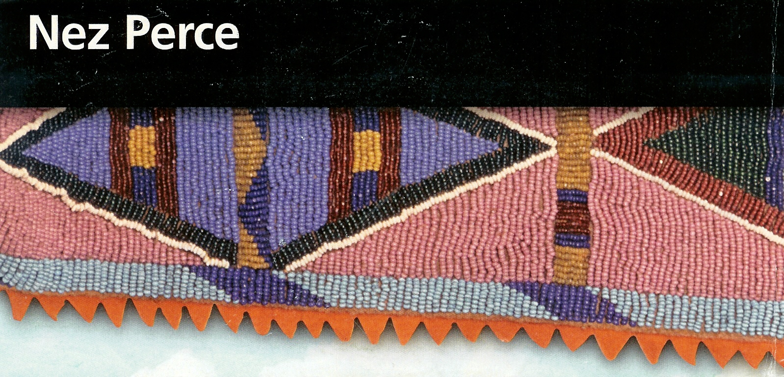
I ride through Kooskia, where I hit a lot of traffic, and continue towards Kamiah. Three miles south of Kamiah, I visit the Nez Perce National Historic Site - the Heart of the Monster Unit. It is here the Nez Perce believe a coyote fought a monster and this fight somehow produced the Nez Perce people. The Nez Perce were particularly helpful to Lewis and Clark on their journey, but in the last 1870's the U.S. eventually chased them, slaughtered them and/or locked them on a reservation after "negotiating" for their lands.
In Kamiah, I find a small pleasant city campground alongside the Clearwater River to set up my tent. It's a big night in Kamiah - the start of their BBQ Fest. There are food booths set up on two blocks of this small town, and a big tent with picnic tables to eat. Everyone is friendly.
Sometime during the day I break my right pedal off, so I'm riding part of the day on the center metal spike. It's sunny and comfortable, even warm, today.
95 miles today. 154 total. Downhill is good.
My bike map does not recommend following Route 12 along the river to Lewiston. It is narrow, with walls of natural
or blasted rock on the land side, and concrete barriers and guard rails in many places on the river side
to prevent cars from veering
off the bank into the river. In most places, the road has no or minimal shoulders. The map offers
an alternate and safer route much higher up and far from the river.
I opt for the river route, and start riding at 4:30am. I know this early starts sounds horrible to many, but on "exciting" days, you just naturally get up early.
Obviously there wasn't much traffic. There was enough light on the road and the river that I didn't have a problem navigating. The route is flat and beautiful even before the sun rises.
Just west of Orofino, I visit Lewis and Clark's Canoe Camp. Lewis and Clark were here in late September, early October
1805 making canoes from yellow pine to use to travel down river.
![]()
Here is a view of the Clearwater River near Canoe Camp.
I continue on past Orofino, and just before I get to Spaulding, I find some blackberries along the road near this picture. As I'm eating blackberries, a dog is barking a little bit up the road. I hear its owner calling the dog and telling it to settle down. Then the dog comes up the road and bites me. I'm upset, but the owner is even more upset when I politely ask if his dog is current on his rabies shots.
Well I guess there isn't that much blood, and I guess the owner feels, sinces he is out in the country, he isn't responsible for his poorly behaved dog.
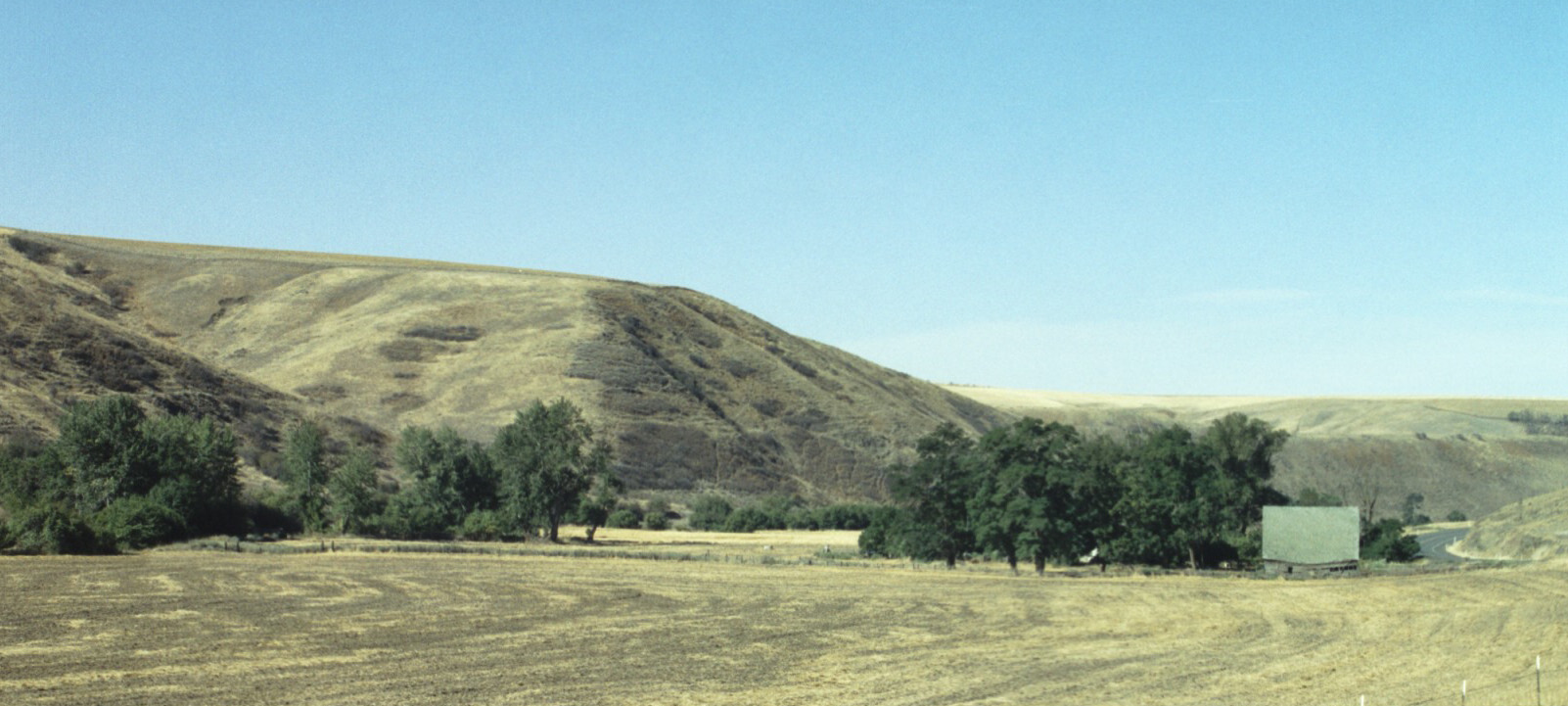
Here's a picture of the farm country just east of Spaulding
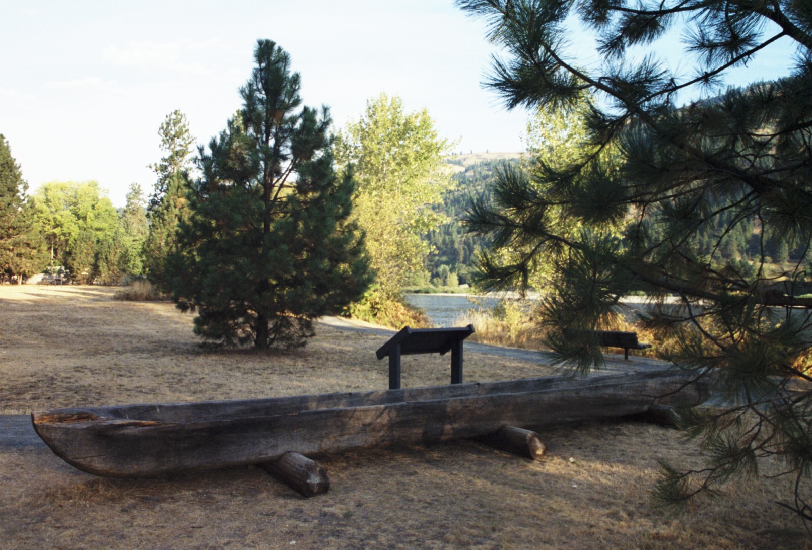
I arrive at the Spaulding unit of Nez Perce National Historic Park. It's a collection of older farm buildings
and mill remains set in a lightly wooded area and organized by the Spauldings as part of a mission to the indians
in the area in the 1830's. Later, the U.S. set up an Agency here
for the Nez Perce, also. Finally there is an abandoned general store, and an active church serving the community.
I arrive in Lewiston about 12:30pm. It's an interesting town with lots of old historic buildings downtown, though its does have a few holes in its historic fabric. I get new pedals on my bike, have a nice lunch on the "old" main retail street downtown, get a shower at a gym down the street, and ride along the Levee Bike Park.
One of the amazing things about Lewiston is that it is underwater. When the Corp of Engineers designed the Columbia and Snake River navigation systems to make Lewiston an "inland" port, they raised the river level here, and then built an extensive floodwall system around most of the city. It's an unusual feeling to be living below river level, even where there isn't heavy rain or a flood.
I hope there was some heavy barge traffic at some point this far inland to Lewiston, because there certainly isn't much now. In fact, I didn't see much river traffic the entire way to The Dalles. Thank goodness the feds paid for this, because it would have bankrupted Washington, Oregon, and Idaho to build this project.
I head out of town at the end of the day, and find a campsite at Chief Timonthy Park. Easy day but lots of miles.
Still mostly flat or downhill all day :-) 76 miles today, 230 miles total.
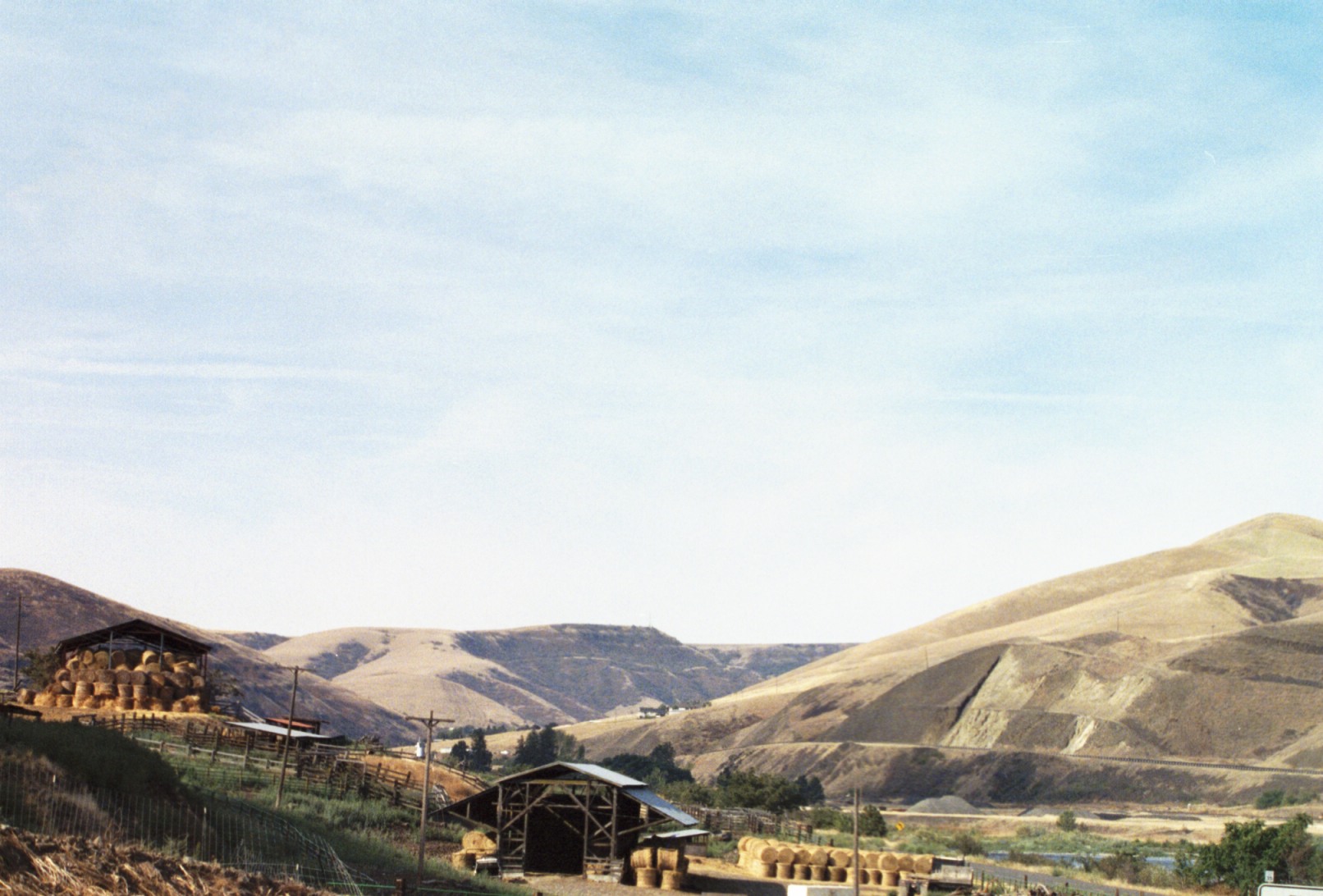
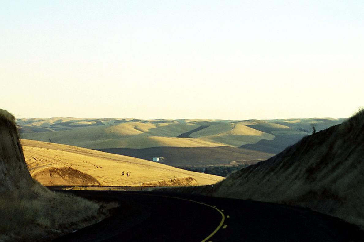
I have a flat tire before I even pass the campground entrance station and hit the main road. I finally start moving about 7am. I start with a long five mile climb up to and over Alpowa Pass (the route peels west away from the northbound Snake River to reach the Columbia River more directly). At the top of the pass, you see hearty eastern Washington wheat country. I ride through high rolling hills, wheat fields, and little farming valleys with tree lined creeks. It is dry tan field and blue sky country. I've got a slight headwind about 1/8 off direct.
One of the prettier valleys I cross is the Pataha Valley.
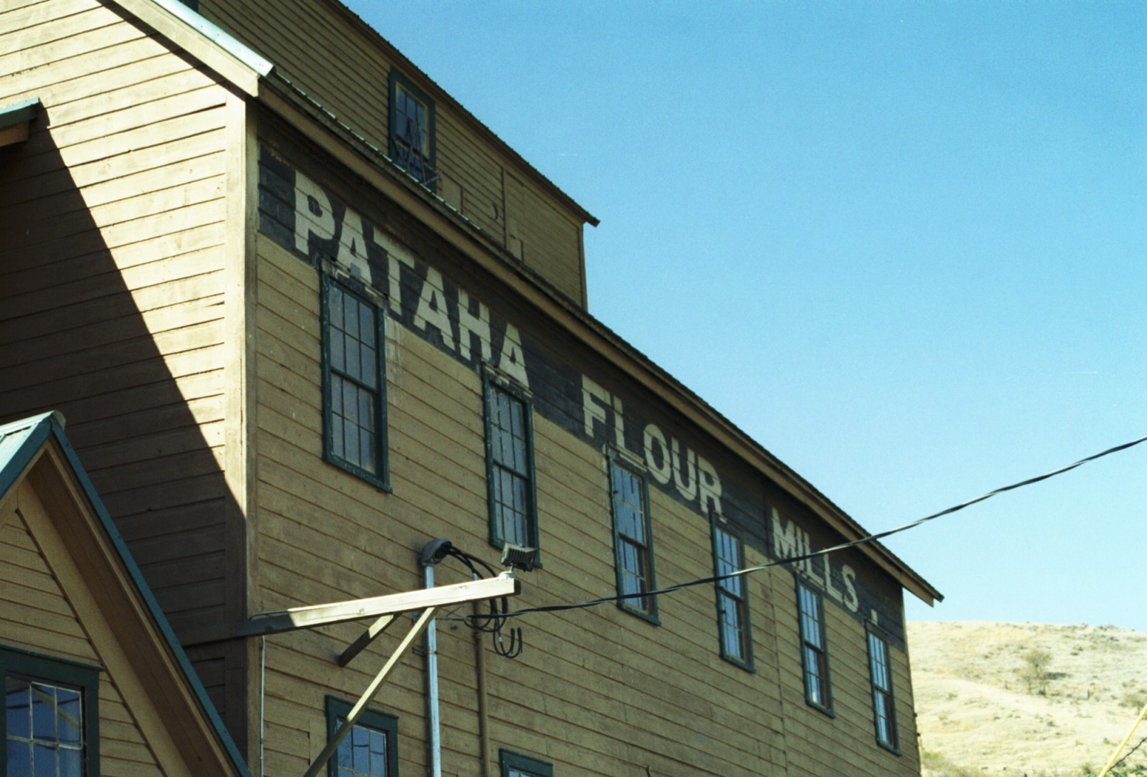
A big wheat producing and processing town in the past, the processing has moved to other places, but the old Pataha Mills building is well preserved and still used as a church, store, and community center.
Continuing on, I meet Farmer Don, who has been in eastern Washington for 26 years. He gives me some water and we chat for a while. Here's what the country near Don's farm looks like.
I have a long slow climb this afternoon. Eventually I arrive at the big city (relatively) of Dayton for dinner. I pull into Lewis and Clark State Park at 7pm. Long day.
63.5 miles today. 293.5 miles total.
 I'm up and on the road at 5:45am. And start one of the most scenic bike rides I've ever taken, on Middle Waitsburg Road
between Waitsburg and Walla Walla. I begin with a challenging climb up a big hill, then the sun rises as I reach the top.
archetypal wheatfields, rolling hills and old farms make up the countryside.
I'm up and on the road at 5:45am. And start one of the most scenic bike rides I've ever taken, on Middle Waitsburg Road
between Waitsburg and Walla Walla. I begin with a challenging climb up a big hill, then the sun rises as I reach the top.
archetypal wheatfields, rolling hills and old farms make up the countryside.
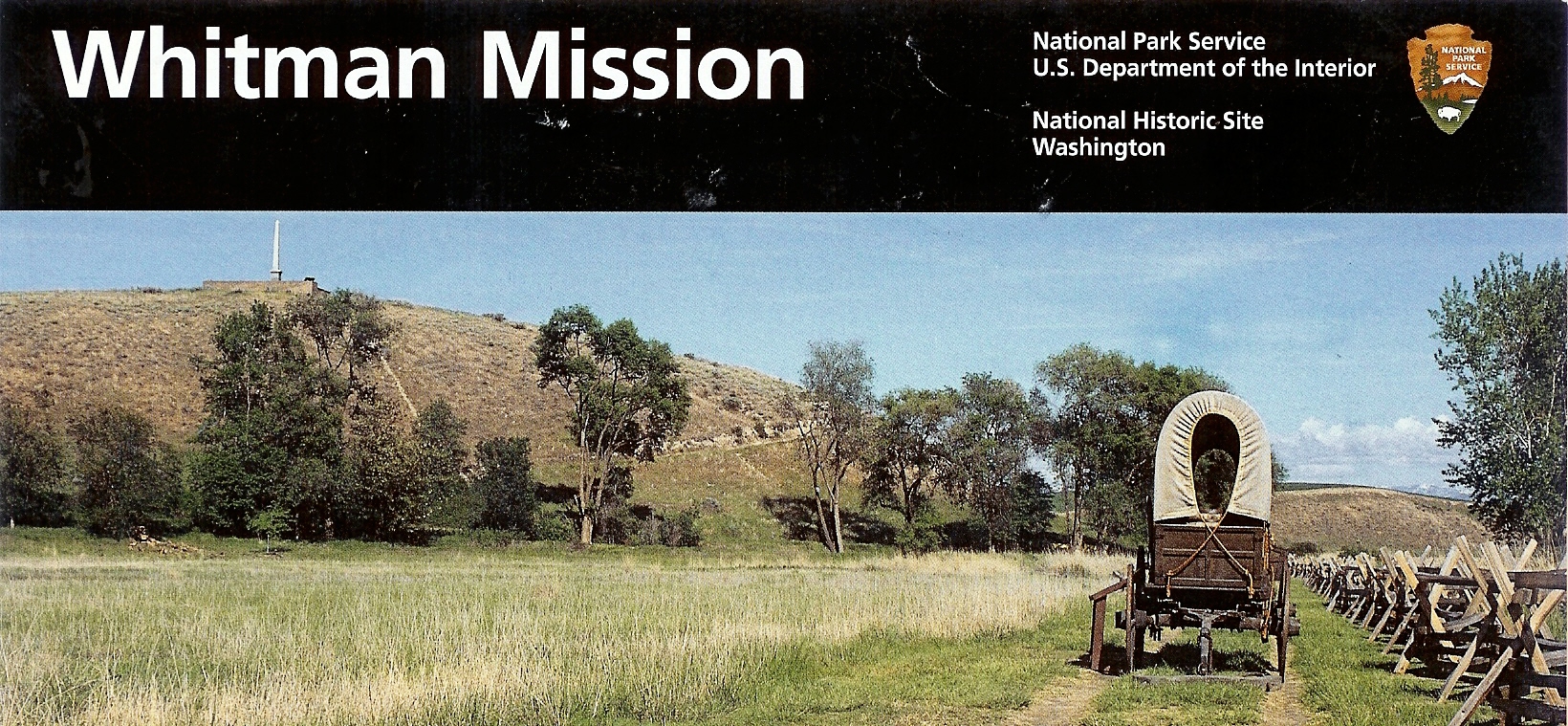
I have breakfast in downtown Walla Walla, and head out the Whitman Mission National Park. The Whitman's started a mission here for the local indians. The mission was an important weigh station and rest station for the early users of the Oregon Trail.
I talked with an onion farmer near Touchet, and shortly thereafter, hit the Columbia River.
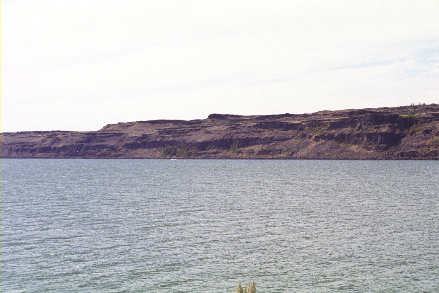
The scenery changes dramatically when you arrive at the Columbia. It's brown. It's bigger, wider, rockier. The scale of the geography increases dramatically.
I book down the Columbia River on the Oregon side. The road is absolutely flat and freshly paved. Most of the morning, I have been worrying about the strong westerly winds that typically blow up the Columbia River Gorge. As I was heading up over the last hills before the Columbia, I'm watching the many wind turbines on the ridges up ahead. Though I'm a big supporter of Green Power, I am happy to see that none of the turbines are moving! Better yet, I have a slight tail wind.
I take a break at a campsite/beach along the Columbia River near Hat Rock, and then head out for Umatilla.
I ride through Umatilla thinking I am just on the sparsely built out fringe, but when the fringe runs out, I do and U-turn back into Umatilla. Sparsely built out fringe is all there is here. I do manage to find a restaurant for dinner in Umatilla, and then head over the I-82 bridge (which has a separate bike/pedestrian trail on the side), and find a nice campsite in Plymouth, Washington.
I originally thought I would only get as far as the Columbia River, and booked my return flight home from
Pasco, Washington. Since so much of the ride has been flat or downhill, I decide to continue on to The Dalles, where
I can pick up a bus back to Pasco.
From my bike route map, I know that there aren't many people or towns on the Washington side of the Columbia River. There is even a 66 mile stretch with "No Services". My plan is to stop at the convenience store in Patterson about 14 miles ahead, eat breakfast and stock up for the 66 mile stretch to Marysville.
I get a pre-dawn start and am riding through lightly settle pasturelands above the Columbia River. I have a slow leak in my back tire, and it's a little soft. It is still dark when pass the "No Services Next 66 Miles" sign and arrive at the bar/convenience store in Patterson. It's not open yet so I set out front on the stoop.
I notice a garbage truck pull in behind the bar/convenience store, but don't hear a dumpster dumping noise. A lady pulls past and goes around back in her car. Neither vehicle comes out. I'm thinking "early morning rondez vous".
I finally conclude this place must have closed for good. The sun is up, there is traffic on the highway, but no one pulls up in front, and the lights are still off. I figure I have enough fig newtons and gaterade to get me down the highway.
My slow leak turns into a flat tire at Whitcomb. I put over on the shoulder and am fixing my tire, when that same garbage truck from earlier pulls up. "Were you looking for something to eat back there in Patterson??? I thought you might be, but didn't come out and ask. The restaurant's on the back side and it was open." I guess they have a law in Washington that doesn't allow minors to walk through the bar to get to the restaurant. I quess they also have a law that doesn't allow posting signs on the bar door (the front door mind you) that says "restaurant entrance around back!"
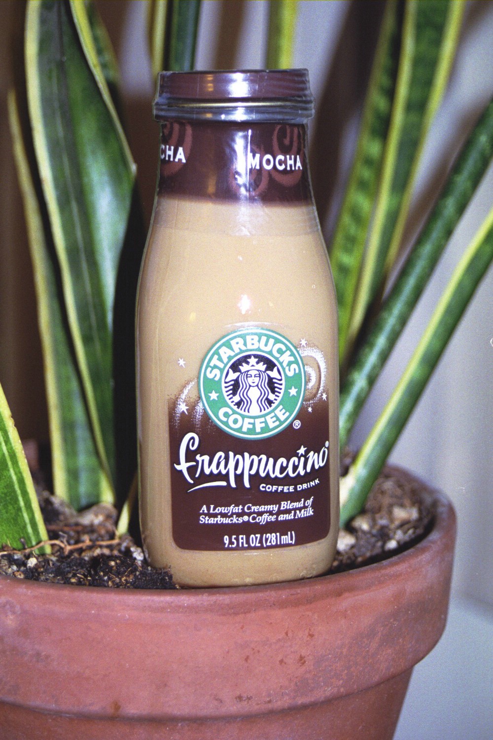
Well - Manna from heaven. The guy in the truck must be feeling a little guilty and gives me a large Starbucks Frappacino. Having spend several days trying to kick the caffeine habit, I take this as a sign, that I should not give up caffeine.
I ride past big dry rocky buttes, and after a slow and steady ride, find a restaurant in Roosevelt and eat. After Rosevelt, I have a number of good climbs up the high rocky bluffs that make up the north side of the Columbia River. It slowly gets greener as I head west, and occassionally, I view wineries and vineyards tucked in the green spaces between the River and the tops of the bluffs where I'm riding.
I'm getting a little tired, and after a step climb, I pull up to the Gas and Go at the top of the
hill in Maryville for some food and rest.
After resting and chatting with the Gas and Go clerk, I walk over to my bike. I start pumping my mushy tire up, when I shred another valve/tube connection. No chance of using that tube again. I have one tube left but it already has a puncture in it and I have no patch kit.
Well the husband of the lady running the store pulls up on his motorcycle with his young son. Soon his wife and he are talking. They don't have any tire patch kits for auto tires at the station, but his son does have an inflatable pool, which came with a patch kit. Maybe that will work.
Extremely greatful for his help, I watch a commercial tire truck pull up just as he is getting ready to leave to retreive the pool patch kit. Well, these guys know each other, and, in an instant, the commercial truck tire repair man pulls out a gallon bucket of tire patch goo and a truck tire patch that must be 6 inches by 6 inches. He cuts down the patch, gobs on some goo, and presto, I have a tube that will hold air.
Many thanks folks.
I head out on the last 26 miles to The Dalles, the only place with bus service back to Pasco. It continues to get greener as I approach The Dalles. It's sunny, comfortably warm, and windless. At some point, though, my back tire starts getting soft. Then it really gets soft, though still holding some air. I'm pretty tired as I approach downtown The Dalles, looking for a bike shop listed on my map. At 5:25pm I hop off my bike, wheel it into the bike shop, and ask about boxing and shipping it home. At 5:26pm the back tire literally slumps flat. Good timing! I have a good dinner in a nice restaurant and stay in a hotel tonight.
105 miles today. A "miracle century." 482 miles total.
Maybe I'm just tired, or maybe I feel a little limited with no bicycle to move me around. In any case, I am not
particularly impressed with the part of Pasco I can access on foot or saw taking the cab from downtown Pasco to my
hotel near the airport. I'm told you do need a car,and that there are some really nice spots in the tri-city area. I just didn't find them
Next time. I fly out of Pasco and arrive home September 8th.
Last Update: December 30, 2006